Gibbett Lane, Camberley
Introduction
The photograph on this page of Gibbett Lane, Camberley by Alan Hunt as part of the Geograph project.
The Geograph project started in 2005 with the aim of publishing, organising and preserving representative images for every square kilometre of Great Britain, Ireland and the Isle of Man.

There are currently over 7.5m images from over 14,400 individuals and you can help contribute to the project by visiting https://www.geograph.org.uk
Gibbett Lane, Camberley
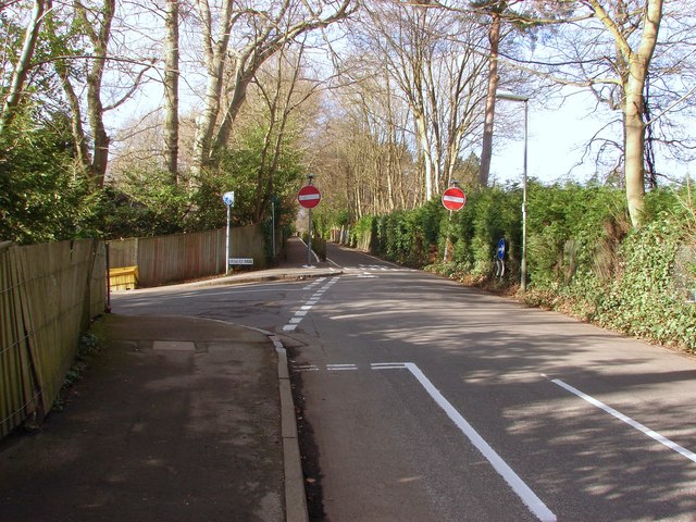
Image: © Alan Hunt Taken: 17 Feb 2013
The junction of Gibbett Lane with Crawley Ridge on the left. After this point Gibbett lane becomes a narrow one way road running up towards the A30.
Images are licensed for reuse under creativecommons.org/licenses/by-sa/2.0
Image Location
Latitude
51.34404
Longitude
-0.718403