Denny Crescent, Dumbarton
Introduction
The photograph on this page of Denny Crescent, Dumbarton by Lairich Rig as part of the Geograph project.
The Geograph project started in 2005 with the aim of publishing, organising and preserving representative images for every square kilometre of Great Britain, Ireland and the Isle of Man.

There are currently over 7.5m images from over 14,400 individuals and you can help contribute to the project by visiting https://www.geograph.org.uk
Denny Crescent, Dumbarton
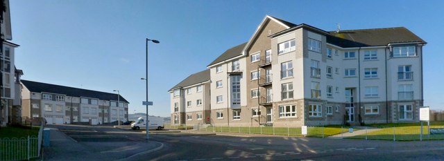
Image: © Lairich Rig Taken: 21 Feb 2013
This street is part of the Castle Quay housing development. The name Denny Crescent commemorates the former presence here of the northern part of Denny's shipyard. At a still earlier period, and as shown on the first-edition OS map (surveyed in 1860), this northern part had previously been the site of the Victoria Yard (of Denny & Rankin): see Image (For the company Denny & Rankin, see the comments at http://www.geograph.org.uk/article/Dumbarton-Cemetery#shipbuilding-and-other-industries on Peter Denny of Castlegreen and on Daniel Rankin. For the place-name Castlegreen, see comments on Image)
Images are licensed for reuse under creativecommons.org/licenses/by-sa/2.0
Image Location
Latitude
55.940676
Longitude
-4.560439