Public Footpath, Blundell's Hill Golf Club
Introduction
The photograph on this page of Public Footpath, Blundell's Hill Golf Club by David Dixon as part of the Geograph project.
The Geograph project started in 2005 with the aim of publishing, organising and preserving representative images for every square kilometre of Great Britain, Ireland and the Isle of Man.

There are currently over 7.5m images from over 14,400 individuals and you can help contribute to the project by visiting https://www.geograph.org.uk
Public Footpath, Blundell's Hill Golf Club
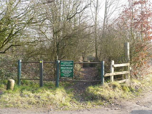
Image: © David Dixon Taken: 5 Mar 2013
Cronton Lane, an ancient track, cuts across Blundell's Hill Golf Course. It is kept separated from the fairways and there are several notices warning hikers about the potential danger from stray flying golf balls.
Images are licensed for reuse under creativecommons.org/licenses/by-sa/2.0
Image Location
Latitude
53.407539
Longitude
-2.774652