Ottery St. Mary: town centre
Introduction
The photograph on this page of Ottery St. Mary: town centre by Chris Downer as part of the Geograph project.
The Geograph project started in 2005 with the aim of publishing, organising and preserving representative images for every square kilometre of Great Britain, Ireland and the Isle of Man.

There are currently over 7.5m images from over 14,400 individuals and you can help contribute to the project by visiting https://www.geograph.org.uk
Ottery St. Mary: town centre
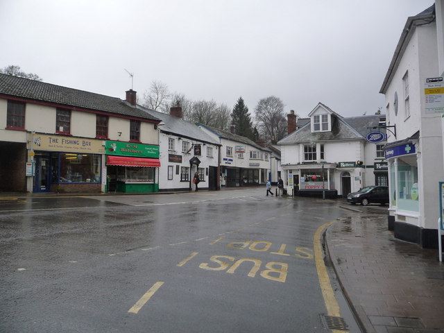
Image: © Chris Downer Taken: 7 Mar 2013
Looking across what one would describe as the town square, although I don't know that it is officially named as such.
Images are licensed for reuse under creativecommons.org/licenses/by-sa/2.0
Image Location
Latitude
50.751084
Longitude
-3.27941