Hestow Barton
Introduction
The photograph on this page of Hestow Barton by Derek Harper as part of the Geograph project.
The Geograph project started in 2005 with the aim of publishing, organising and preserving representative images for every square kilometre of Great Britain, Ireland and the Isle of Man.

There are currently over 7.5m images from over 14,400 individuals and you can help contribute to the project by visiting https://www.geograph.org.uk
Hestow Barton
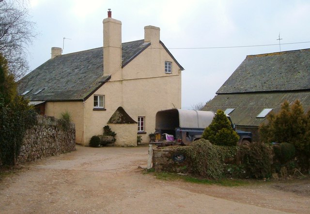
Image: © Derek Harper Taken: 18 Mar 2006
"An interesting and rather unusual example in the region of what appears to be a single build early C18 farmhouse" says http://list.english-heritage.org.uk/resultsingle.aspx?uid=1165049&searchtype=mapsearch .
Images are licensed for reuse under creativecommons.org/licenses/by-sa/2.0
Image Location
Latitude
50.573945
Longitude
-3.571039