Site of Cross Hands station, 1990
Introduction
The photograph on this page of Site of Cross Hands station, 1990 by Ben Brooksbank as part of the Geograph project.
The Geograph project started in 2005 with the aim of publishing, organising and preserving representative images for every square kilometre of Great Britain, Ireland and the Isle of Man.

There are currently over 7.5m images from over 14,400 individuals and you can help contribute to the project by visiting https://www.geograph.org.uk
Site of Cross Hands station, 1990
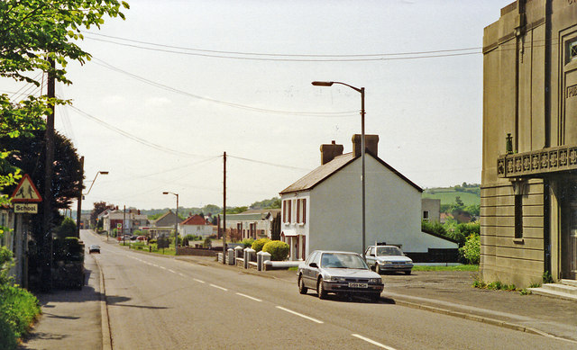
Image: © Ben Brooksbank Taken: 20 May 1990
View SE on the A48, the station had been on the right: terminus of the ex-GW Llanelly & Mynydd Mawr line. Passenger services for colliery workers lasted until 1928, but freight up the Gwendraeth Valley continued until the colliery at Cynheidre closed in 1983.
Images are licensed for reuse under creativecommons.org/licenses/by-sa/2.0
Image Location
Latitude
51.799741
Longitude
-4.095381