Site of Cwmllynfell station
Introduction
The photograph on this page of Site of Cwmllynfell station by Ben Brooksbank as part of the Geograph project.
The Geograph project started in 2005 with the aim of publishing, organising and preserving representative images for every square kilometre of Great Britain, Ireland and the Isle of Man.

There are currently over 7.5m images from over 14,400 individuals and you can help contribute to the project by visiting https://www.geograph.org.uk
Site of Cwmllynfell station
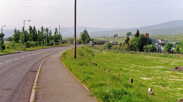
Image: © Ben Brooksbank Taken: 20 May 1990
View northward in the Amman Valley on A4068, with the Carmarthenshire Black Mountains (Carn Ushaf, 1,580 ft.) on the horizon. The station had been over to the right, with the line having been the ex-Midland Swansea (St Thomas) - Ystelyfera - Brynamman (East) line, which was closed to passengers on 25/9/50, to goods on 28/9/64.
Images are licensed for reuse under creativecommons.org/licenses/by-sa/2.0
Image Location
Latitude
51.80307
Longitude
-3.825751