The lane to Luddenham
Introduction
The photograph on this page of The lane to Luddenham by Marathon as part of the Geograph project.
The Geograph project started in 2005 with the aim of publishing, organising and preserving representative images for every square kilometre of Great Britain, Ireland and the Isle of Man.

There are currently over 7.5m images from over 14,400 individuals and you can help contribute to the project by visiting https://www.geograph.org.uk
The lane to Luddenham
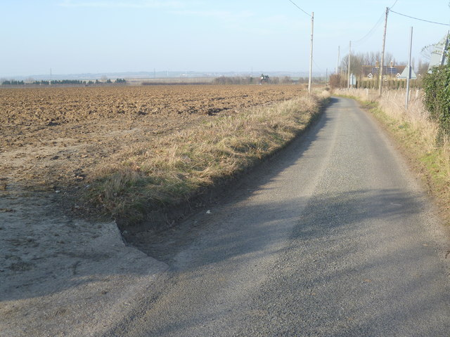
Image: © Marathon Taken: 5 Mar 2013
This is the view looking along the lane to Luddenham just beyond the junction with Lower Road near the level crossing. The Swale between the mainland and the Isle of Sheppey lies in the distance, with Sheppey on the horizon.
Images are licensed for reuse under creativecommons.org/licenses/by-sa/2.0
Image Location
Latitude
51.324094
Longitude
0.839357