Langlands
Introduction
The photograph on this page of Langlands by Richard Webb as part of the Geograph project.
The Geograph project started in 2005 with the aim of publishing, organising and preserving representative images for every square kilometre of Great Britain, Ireland and the Isle of Man.

There are currently over 7.5m images from over 14,400 individuals and you can help contribute to the project by visiting https://www.geograph.org.uk
Langlands
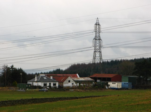
Image: © Richard Webb Taken: 11 Feb 2007
Farm near Denny substation, hence the pylons. The energy industry is very obvious here, the landscape is dotted with old collieries, there is a gas pipeline beneath my feet, and of course the electricity cables.
Images are licensed for reuse under creativecommons.org/licenses/by-sa/2.0
Image Location


Leaflet Map data © OpenStreetMap
Latitude
56.044655
Longitude
-3.888456