Currock chicken huts
Introduction
The photograph on this page of Currock chicken huts by Brian Norman as part of the Geograph project.
The Geograph project started in 2005 with the aim of publishing, organising and preserving representative images for every square kilometre of Great Britain, Ireland and the Isle of Man.

There are currently over 7.5m images from over 14,400 individuals and you can help contribute to the project by visiting https://www.geograph.org.uk
Currock chicken huts
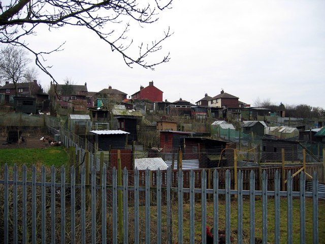
Image: © Brian Norman Taken: 3 Mar 2013
A varied collection of sheds in these allotments seen on crossing the footbridge over the railway from Gildford Park to Currock. Most seem to house chickens.
Images are licensed for reuse under creativecommons.org/licenses/by-sa/2.0
Image Location
Latitude
54.87763
Longitude
-2.920111