Lorne Rd Cemetery
Introduction
The photograph on this page of Lorne Rd Cemetery by Glyn Baker as part of the Geograph project.
The Geograph project started in 2005 with the aim of publishing, organising and preserving representative images for every square kilometre of Great Britain, Ireland and the Isle of Man.

There are currently over 7.5m images from over 14,400 individuals and you can help contribute to the project by visiting https://www.geograph.org.uk
Lorne Rd Cemetery
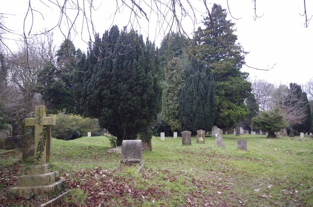
Image: © Glyn Baker Taken: 6 Mar 2013
This Brentwood Cemetery is now a Nature Reserve.
Images are licensed for reuse under creativecommons.org/licenses/by-sa/2.0
Image Location
Latitude
51.609116
Longitude
0.296831