Woodland, Head of Muir
Introduction
The photograph on this page of Woodland, Head of Muir by Richard Webb as part of the Geograph project.
The Geograph project started in 2005 with the aim of publishing, organising and preserving representative images for every square kilometre of Great Britain, Ireland and the Isle of Man.

There are currently over 7.5m images from over 14,400 individuals and you can help contribute to the project by visiting https://www.geograph.org.uk
Woodland, Head of Muir
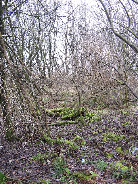
Image: © Richard Webb Taken: 11 Feb 2007
Old industrial land now covered in young woodland. Opposite Denny High School.
Images are licensed for reuse under creativecommons.org/licenses/by-sa/2.0
Image Location
Latitude
56.011723
Longitude
-3.908664