The 'Greensand Way' south of Tillingbourne Lodge
Introduction
The photograph on this page of The 'Greensand Way' south of Tillingbourne Lodge by Stefan Czapski as part of the Geograph project.
The Geograph project started in 2005 with the aim of publishing, organising and preserving representative images for every square kilometre of Great Britain, Ireland and the Isle of Man.

There are currently over 7.5m images from over 14,400 individuals and you can help contribute to the project by visiting https://www.geograph.org.uk
The 'Greensand Way' south of Tillingbourne Lodge
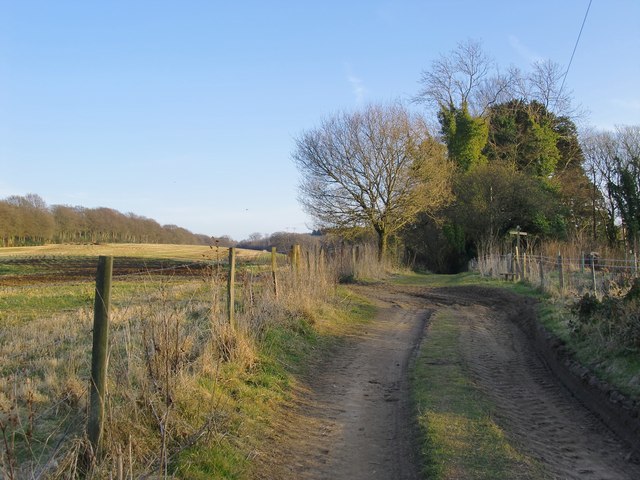
Image: © Stefan Czapski Taken: 5 Mar 2013
This stretch of farm track and its southerly continuation are now included in the 'Greensand Way' long-distance path. Not many paces ahead a stile and a finger-post mark the point where another right of way crosses, running NNE-SSW. The Greensand Way then leads downhill, in a sunken lane which at times is quite tunnel-like, with few glimpses of the surrounding terrain.
Images are licensed for reuse under creativecommons.org/licenses/by-sa/2.0
Image Location
Latitude
51.213087
Longitude
-0.382432