Church Lane, Whitestone
Introduction
The photograph on this page of Church Lane, Whitestone by Derek Harper as part of the Geograph project.
The Geograph project started in 2005 with the aim of publishing, organising and preserving representative images for every square kilometre of Great Britain, Ireland and the Isle of Man.

There are currently over 7.5m images from over 14,400 individuals and you can help contribute to the project by visiting https://www.geograph.org.uk
Church Lane, Whitestone
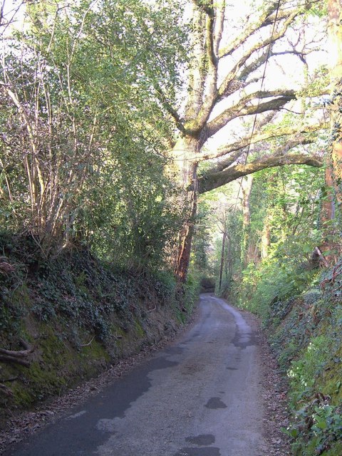
Image: © Derek Harper Taken: 28 Apr 2006
Further down the sunken lane shown in Image], and with too much contrast between shady depths and sunlit areas above. Image is just around the corner.
Images are licensed for reuse under creativecommons.org/licenses/by-sa/2.0
Image Location
Latitude
50.733185
Longitude
-3.606545