Parallel lanes, Whitestone
Introduction
The photograph on this page of Parallel lanes, Whitestone by Derek Harper as part of the Geograph project.
The Geograph project started in 2005 with the aim of publishing, organising and preserving representative images for every square kilometre of Great Britain, Ireland and the Isle of Man.

There are currently over 7.5m images from over 14,400 individuals and you can help contribute to the project by visiting https://www.geograph.org.uk
Parallel lanes, Whitestone
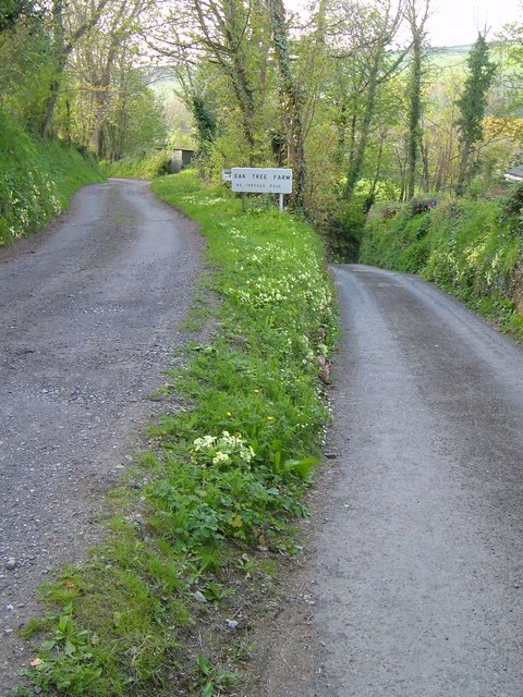
Image: © Derek Harper Taken: 28 Apr 2006
The entrance track for Oak Tree Farm very gradually veers away from Church Lane, starting a steep drop to the right, as shown in Image] which looks up it.
Images are licensed for reuse under creativecommons.org/licenses/by-sa/2.0
Image Location
Latitude
50.73264
Longitude
-3.606952