Tick Lane
Introduction
The photograph on this page of Tick Lane by Derek Harper as part of the Geograph project.
The Geograph project started in 2005 with the aim of publishing, organising and preserving representative images for every square kilometre of Great Britain, Ireland and the Isle of Man.

There are currently over 7.5m images from over 14,400 individuals and you can help contribute to the project by visiting https://www.geograph.org.uk
Tick Lane
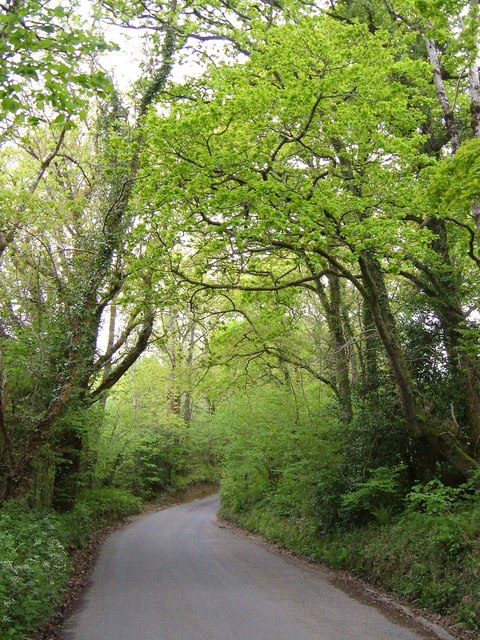
Image: © Derek Harper Taken: 16 May 2006
The lane plunges from a ridge to Doddiscombsleigh; here, at its upper end, it drops through Cowley Brake.
Images are licensed for reuse under creativecommons.org/licenses/by-sa/2.0
Image Location
Latitude
50.662688
Longitude
-3.605694