B1014, Canvey Island
Introduction
The photograph on this page of B1014, Canvey Island by Martin Addison as part of the Geograph project.
The Geograph project started in 2005 with the aim of publishing, organising and preserving representative images for every square kilometre of Great Britain, Ireland and the Isle of Man.

There are currently over 7.5m images from over 14,400 individuals and you can help contribute to the project by visiting https://www.geograph.org.uk
B1014, Canvey Island
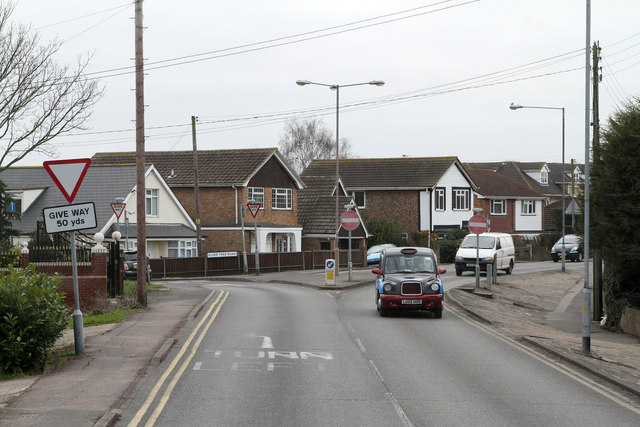
Image: © Martin Addison Taken: 2 Mar 2013
The Junction of Central Wall Road with Elder Tree Road (on the left) and Knightswick Road. This junction marks the northern end of a one-way system in the centre of Canvey Island.
Images are licensed for reuse under creativecommons.org/licenses/by-sa/2.0
Image Location
Latitude
51.524612
Longitude
0.593023