The old Uppingham Road in East Norton
Introduction
The photograph on this page of The old Uppingham Road in East Norton by Mat Fascione as part of the Geograph project.
The Geograph project started in 2005 with the aim of publishing, organising and preserving representative images for every square kilometre of Great Britain, Ireland and the Isle of Man.

There are currently over 7.5m images from over 14,400 individuals and you can help contribute to the project by visiting https://www.geograph.org.uk
The old Uppingham Road in East Norton
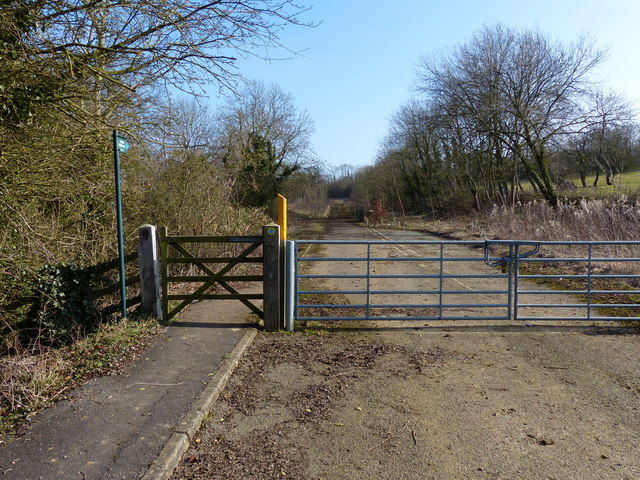
Image: © Mat Fascione Taken: 2 Mar 2013
The East Norton bypass was finally opened on October 27th 1990, this is the route of the former A47 Uppingham Road, on the eastern edge of East Norton village.
Images are licensed for reuse under creativecommons.org/licenses/by-sa/2.0
Image Location
Latitude
52.594995
Longitude
-0.840333