Cambridge Drive, Stockingford
Introduction
The photograph on this page of Cambridge Drive, Stockingford by Richard Vince as part of the Geograph project.
The Geograph project started in 2005 with the aim of publishing, organising and preserving representative images for every square kilometre of Great Britain, Ireland and the Isle of Man.

There are currently over 7.5m images from over 14,400 individuals and you can help contribute to the project by visiting https://www.geograph.org.uk
Cambridge Drive, Stockingford
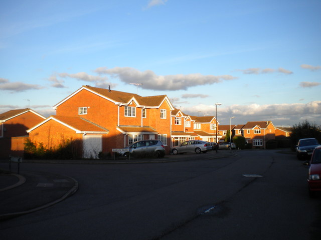
Image: © Richard Vince Taken: 2 Feb 2013
Cambridge Drive is part of a (when compared with the rest of Stockingford) relatively modern housing development east of Westbury Road. The fairly large detached houses contrast with the Victorian and Edwardian terraced housing and more recent council homes in the surrounding area. The end of Sussex Close is visible on the left.
Images are licensed for reuse under creativecommons.org/licenses/by-sa/2.0
Image Location
Latitude
52.516546
Longitude
-1.49951