Iron Way
Introduction
The photograph on this page of Iron Way by Thomas Nugent as part of the Geograph project.
The Geograph project started in 2005 with the aim of publishing, organising and preserving representative images for every square kilometre of Great Britain, Ireland and the Isle of Man.

There are currently over 7.5m images from over 14,400 individuals and you can help contribute to the project by visiting https://www.geograph.org.uk
Iron Way
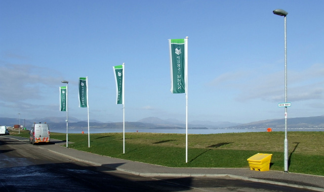
Image: © Thomas Nugent Taken: 1 Mar 2013
Persimmon flags on Iron Way which is part of the Kingston Dock housing development on the site of the former Kingston shipyard.
Images are licensed for reuse under creativecommons.org/licenses/by-sa/2.0
Image Location


Leaflet Map data © OpenStreetMap
Latitude
55.939577
Longitude
-4.704339