The edge of Knowles Wood
Introduction
The photograph on this page of The edge of Knowles Wood by David Smith as part of the Geograph project.
The Geograph project started in 2005 with the aim of publishing, organising and preserving representative images for every square kilometre of Great Britain, Ireland and the Isle of Man.

There are currently over 7.5m images from over 14,400 individuals and you can help contribute to the project by visiting https://www.geograph.org.uk
The edge of Knowles Wood
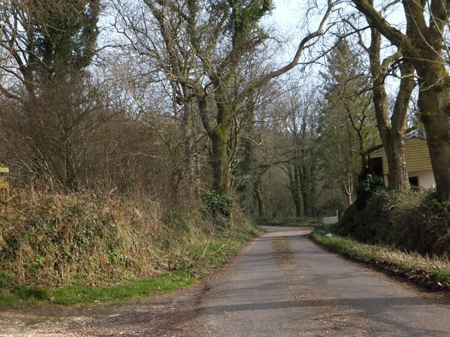
Image: © David Smith Taken: 4 Mar 2013
The mixed woodland runs along the crest of the ridge. On the west side of the ridge there are several farms just below the edge of the wood, such as the one seen here
Images are licensed for reuse under creativecommons.org/licenses/by-sa/2.0
Image Location
Latitude
50.853221
Longitude
-3.289733