Benchmark at junction of Exhibition Road and Princes Gardens
Introduction
The photograph on this page of Benchmark at junction of Exhibition Road and Princes Gardens by Roger Templeman as part of the Geograph project.
The Geograph project started in 2005 with the aim of publishing, organising and preserving representative images for every square kilometre of Great Britain, Ireland and the Isle of Man.

There are currently over 7.5m images from over 14,400 individuals and you can help contribute to the project by visiting https://www.geograph.org.uk
Benchmark at junction of Exhibition Road and Princes Gardens
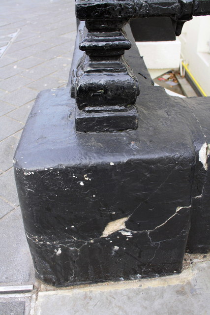
Image: © Roger Templeman Taken: 28 Feb 2013
The brass rivet of the Ordnance Survey benchmark can just be seen on top of the wall in front of the right hand edge of the railings support. The rest of the mark which is described on the Bench Mark Database at http://www.bench-marks.org.uk/bm29899 has been lost to the black paint.
Images are licensed for reuse under creativecommons.org/licenses/by-sa/2.0
Image Location
Latitude
51.49986
Longitude
-0.17434