View downhill to Gade Plas
Introduction
The photograph on this page of View downhill to Gade Plas by Rob Farrow as part of the Geograph project.
The Geograph project started in 2005 with the aim of publishing, organising and preserving representative images for every square kilometre of Great Britain, Ireland and the Isle of Man.

There are currently over 7.5m images from over 14,400 individuals and you can help contribute to the project by visiting https://www.geograph.org.uk
View downhill to Gade Plas
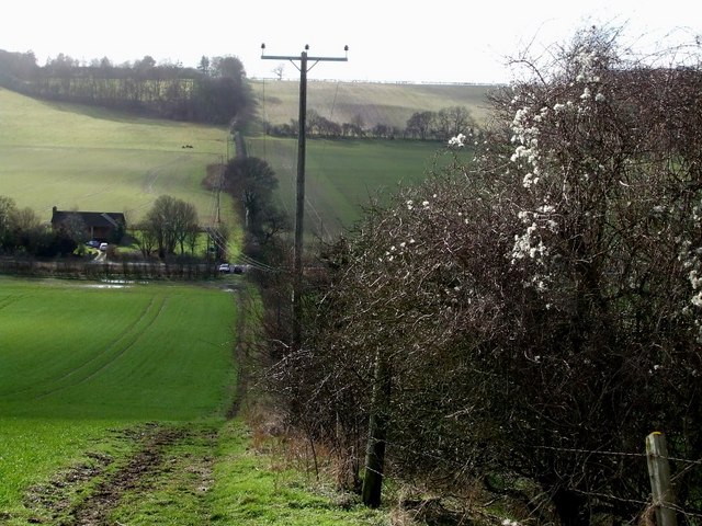
Image: © Rob Farrow Taken: 11 Feb 2007
This is the view downhill from the same point that Image] & Image] were taken. The building on the left is Gade Plas which lies on the opposite side of the A4146 in the adjacent gridsquare (TL0014) at TL00961406 See also Image]
Images are licensed for reuse under creativecommons.org/licenses/by-sa/2.0
Image Location
Latitude
51.817833
Longitude
-0.53468