Hullets Lane
Introduction
The photograph on this page of Hullets Lane by Glyn Baker as part of the Geograph project.
The Geograph project started in 2005 with the aim of publishing, organising and preserving representative images for every square kilometre of Great Britain, Ireland and the Isle of Man.

There are currently over 7.5m images from over 14,400 individuals and you can help contribute to the project by visiting https://www.geograph.org.uk
Hullets Lane
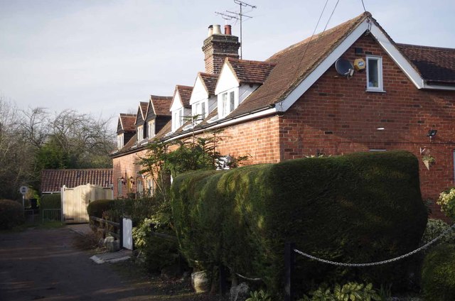
Image: © Glyn Baker Taken: 4 Mar 2013
Although marked on the map as a byway open to all traffic Hullets Lane has a no motor vehicles restriction at the end of this terrace of cottages. However on the other side there is vehicular access to the A128.
Images are licensed for reuse under creativecommons.org/licenses/by-sa/2.0
Image Location
Latitude
51.640901
Longitude
0.276324