Joining The M25
Introduction
The photograph on this page of Joining The M25 by Martin Addison as part of the Geograph project.
The Geograph project started in 2005 with the aim of publishing, organising and preserving representative images for every square kilometre of Great Britain, Ireland and the Isle of Man.

There are currently over 7.5m images from over 14,400 individuals and you can help contribute to the project by visiting https://www.geograph.org.uk
Joining The M25
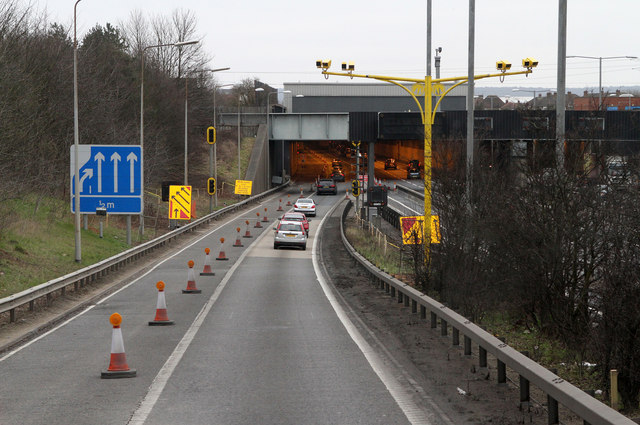
Image: © Martin Addison Taken: 2 Mar 2013
Descending the sliproad from the A10 onto the eastbound carriageway of the M25 motorway. Roadworks continue to reduce the width of the road in the Holmesdale Tunnel (I can't remember when there weren't roadworks of some sort here). The tunnel was built to reduce the impact of the motorway on Waltham Cross, an urban area. It was constructed using cut and cover methods.
Images are licensed for reuse under creativecommons.org/licenses/by-sa/2.0
Image Location
Latitude
51.683002
Longitude
-0.043877