Bridge St
Introduction
The photograph on this page of Bridge St by Nigel Mykura as part of the Geograph project.
The Geograph project started in 2005 with the aim of publishing, organising and preserving representative images for every square kilometre of Great Britain, Ireland and the Isle of Man.

There are currently over 7.5m images from over 14,400 individuals and you can help contribute to the project by visiting https://www.geograph.org.uk
Bridge St
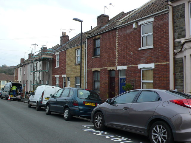
Image: © Nigel Mykura Taken: 23 Feb 2013
Bridge St has plain red brick terraced houses on both sides, some of which have been painted and clad in different materials and colours to give a sense of individuality. The street runs south west from Greenbank View to the junction of Royate Hill and Rose Green Rd.
Images are licensed for reuse under creativecommons.org/licenses/by-sa/2.0
Image Location
Latitude
51.471853
Longitude
-2.552089