Track to Hainton Hall
Introduction
The photograph on this page of Track to Hainton Hall by Chris as part of the Geograph project.
The Geograph project started in 2005 with the aim of publishing, organising and preserving representative images for every square kilometre of Great Britain, Ireland and the Isle of Man.

There are currently over 7.5m images from over 14,400 individuals and you can help contribute to the project by visiting https://www.geograph.org.uk
Track to Hainton Hall
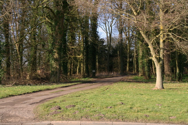
Image: © Chris Taken: 2 Mar 2013
Through the woodland belt that runs alongside the A157
Images are licensed for reuse under creativecommons.org/licenses/by-sa/2.0
Image Location
Latitude
53.341909
Longitude
-0.223246