Housing between Leamore and Harden
Introduction
The photograph on this page of Housing between Leamore and Harden by Richard Law as part of the Geograph project.
The Geograph project started in 2005 with the aim of publishing, organising and preserving representative images for every square kilometre of Great Britain, Ireland and the Isle of Man.

There are currently over 7.5m images from over 14,400 individuals and you can help contribute to the project by visiting https://www.geograph.org.uk
Housing between Leamore and Harden
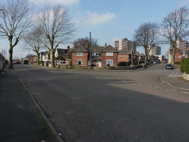
Image: © Richard Law Taken: 18 Feb 2013
Beatrice Street leads off to the left, whilst Portsea Street runs uphill towards the flats a bit further up the road.
Images are licensed for reuse under creativecommons.org/licenses/by-sa/2.0
Image Location
Latitude
52.604984
Longitude
-1.995379