Perry Hall Road
Introduction
The photograph on this page of Perry Hall Road by Ian Capper as part of the Geograph project.
The Geograph project started in 2005 with the aim of publishing, organising and preserving representative images for every square kilometre of Great Britain, Ireland and the Isle of Man.

There are currently over 7.5m images from over 14,400 individuals and you can help contribute to the project by visiting https://www.geograph.org.uk
Perry Hall Road
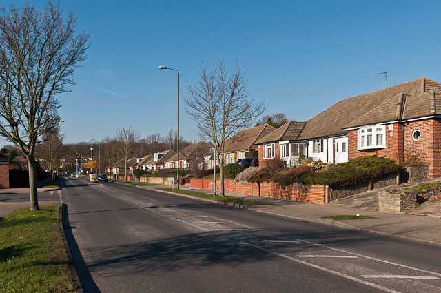
Image: © Ian Capper Taken: 3 Feb 2012
A stretch of Perry Hall Road dating from the 1970s - the houses themselves were earlier (1950s/60s) on what maps suggest was a track connecting Footbury Hill Road with Mountview Road and the ends of Sandy Lane and Cambrai Road.
Images are licensed for reuse under creativecommons.org/licenses/by-sa/2.0
Image Location
Latitude
51.382711
Longitude
0.098099