River Creedy
Introduction
The photograph on this page of River Creedy by Derek Harper as part of the Geograph project.
The Geograph project started in 2005 with the aim of publishing, organising and preserving representative images for every square kilometre of Great Britain, Ireland and the Isle of Man.

There are currently over 7.5m images from over 14,400 individuals and you can help contribute to the project by visiting https://www.geograph.org.uk
River Creedy
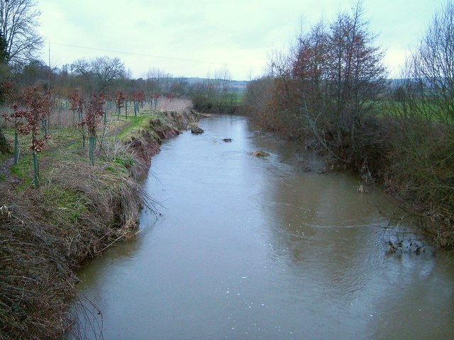
Image: © Derek Harper Taken: 24 Mar 2006
Looking upstream, from a footbridge that carries Newton St Cyres Footpath 12, following Marsh Barton Lane, across the river. Another footpath, used by the Devonshire Heartland Way, runs along the left bank upstream here.
Images are licensed for reuse under creativecommons.org/licenses/by-sa/2.0
Image Location
Latitude
50.767599
Longitude
-3.569151