Salisbury Drive, Chapel End
Introduction
The photograph on this page of Salisbury Drive, Chapel End by Richard Vince as part of the Geograph project.
The Geograph project started in 2005 with the aim of publishing, organising and preserving representative images for every square kilometre of Great Britain, Ireland and the Isle of Man.

There are currently over 7.5m images from over 14,400 individuals and you can help contribute to the project by visiting https://www.geograph.org.uk
Salisbury Drive, Chapel End
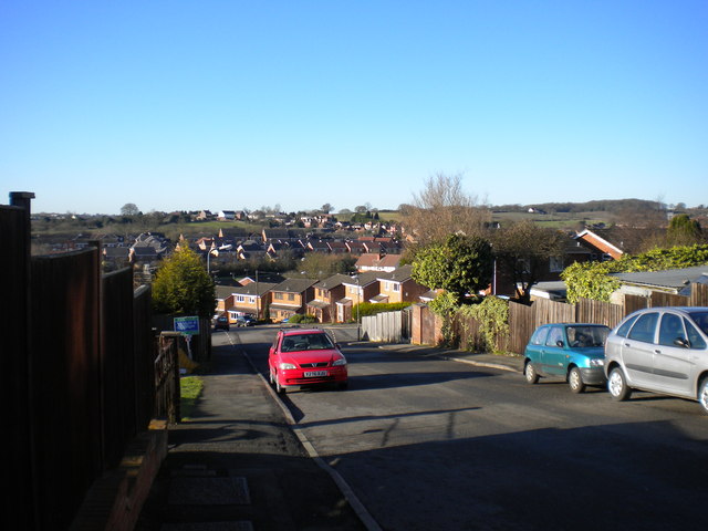
Image: © Richard Vince Taken: 2 Feb 2013
Looking down Salisbury Drive from Buck's Hill, across the undulating suburban landscape of Nuneaton's western extremities.
Images are licensed for reuse under creativecommons.org/licenses/by-sa/2.0
Image Location
Latitude
52.536042
Longitude
-1.518307