Open space on Hartley Road, Radford
Introduction
The photograph on this page of Open space on Hartley Road, Radford by Richard Vince as part of the Geograph project.
The Geograph project started in 2005 with the aim of publishing, organising and preserving representative images for every square kilometre of Great Britain, Ireland and the Isle of Man.

There are currently over 7.5m images from over 14,400 individuals and you can help contribute to the project by visiting https://www.geograph.org.uk
Open space on Hartley Road, Radford
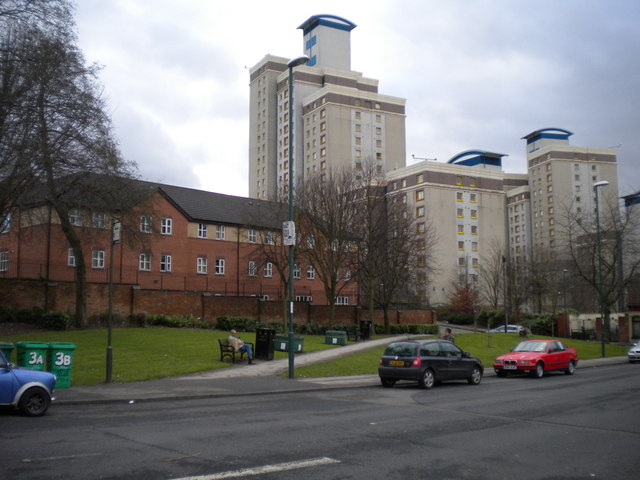
Image: © Richard Vince Taken: 1 Feb 2013
This open space on the south side of Hartley Road in Radford may have been the site of a turning circle used by buses on the old Nottingham City Transport route 58, which terminated hereabouts. The old 58 replaced the trams between here and Nottingham city centre via Radford, Lenton and Castle Boulevards, but was itself replaced by circular routes 8 and 9 around 1980, meaning buses no longer terminated here. The distinctively styled high rise flats in the background stand out all the more thanks to the rarity of such structures in Nottingham.
Images are licensed for reuse under creativecommons.org/licenses/by-sa/2.0
Image Location
Latitude
52.960871
Longitude
-1.171642