Dykeneuk Farm
Introduction
The photograph on this page of Dykeneuk Farm by Bob Forrest as part of the Geograph project.
The Geograph project started in 2005 with the aim of publishing, organising and preserving representative images for every square kilometre of Great Britain, Ireland and the Isle of Man.

There are currently over 7.5m images from over 14,400 individuals and you can help contribute to the project by visiting https://www.geograph.org.uk
Dykeneuk Farm
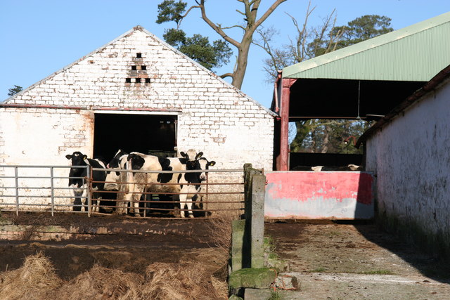
Image: © Bob Forrest Taken: 6 Feb 2007
Winter shelter for the Friesian cattle in spite of what has been a relatively mild winter. Trees and hedges have been planted in the past and continue to provide shelter from the SW prevailing winds, for farm buildings and animals .
Images are licensed for reuse under creativecommons.org/licenses/by-sa/2.0
Image Location
Latitude
55.525098
Longitude
-4.295373