Cwm Degwel
Introduction
The photograph on this page of Cwm Degwel by Natasha Ceridwen de Chroustchoff as part of the Geograph project.
The Geograph project started in 2005 with the aim of publishing, organising and preserving representative images for every square kilometre of Great Britain, Ireland and the Isle of Man.

There are currently over 7.5m images from over 14,400 individuals and you can help contribute to the project by visiting https://www.geograph.org.uk
Cwm Degwel
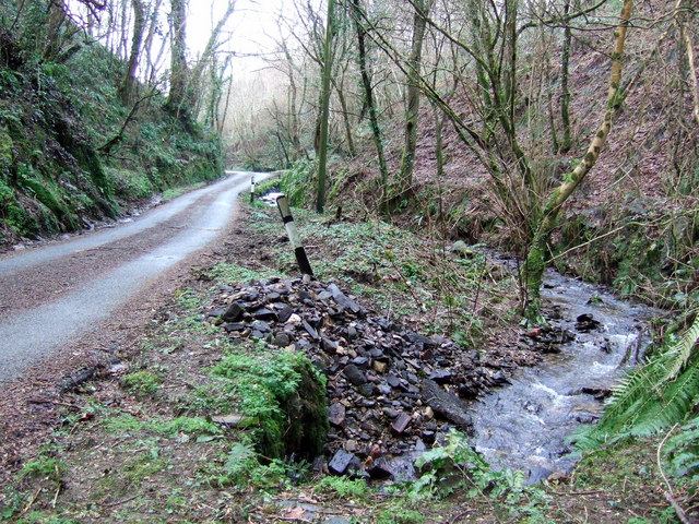
Image: © Natasha Ceridwen de Chroustchoff Taken: 10 Feb 2007
A glacial meltwater ravine down which the Degwel stream runs, via Llandudoch/St Dogmaels, to the Teifi. The steep valley sides are wooded and precipitous in places. Damp-loving ferns and mosses abound.
Images are licensed for reuse under creativecommons.org/licenses/by-sa/2.0
Image Location


Leaflet Map data © OpenStreetMap
Latitude
52.073373
Longitude
-4.688833