Hawthorn Way, Portslade
Introduction
The photograph on this page of Hawthorn Way, Portslade by nick macneill as part of the Geograph project.
The Geograph project started in 2005 with the aim of publishing, organising and preserving representative images for every square kilometre of Great Britain, Ireland and the Isle of Man.

There are currently over 7.5m images from over 14,400 individuals and you can help contribute to the project by visiting https://www.geograph.org.uk
Hawthorn Way, Portslade
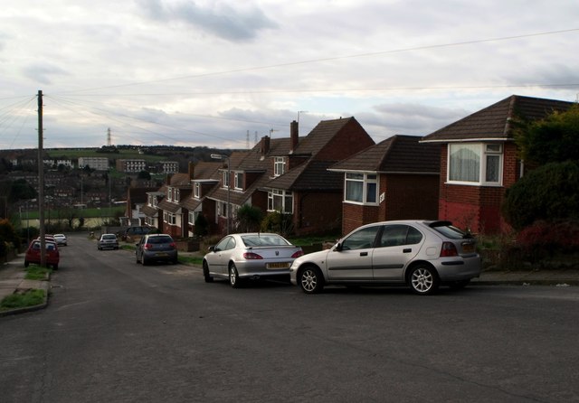
Image: © nick macneill Taken: 8 Feb 2013
This road, along with others in the area was built by local builders, Stone and Co/Sons in 1966. It is a cul de sac with a turning point at the top of the hill. Needless to write, but there were no or few cars in the road during its first years. The road was unusual in that bungalows were mixed with 'chalet bungalows', presumably to allow for a mix of residents.
Images are licensed for reuse under creativecommons.org/licenses/by-sa/2.0
Image Location
Latitude
50.850209
Longitude
-0.220847