Structures, Sparrwood Farm
Introduction
The photograph on this page of Structures, Sparrwood Farm by Robin Webster as part of the Geograph project.
The Geograph project started in 2005 with the aim of publishing, organising and preserving representative images for every square kilometre of Great Britain, Ireland and the Isle of Man.

There are currently over 7.5m images from over 14,400 individuals and you can help contribute to the project by visiting https://www.geograph.org.uk
Structures, Sparrwood Farm
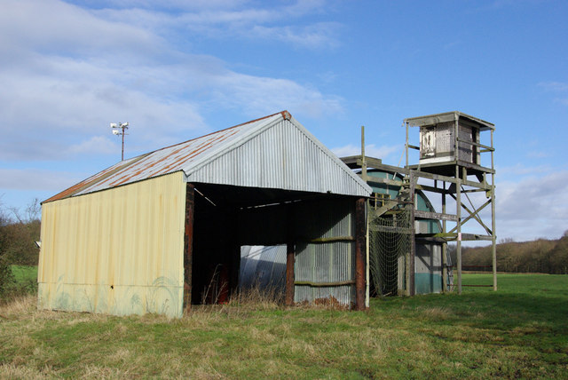
Image: © Robin Webster Taken: 10 Feb 2007
Best guess is the elevated structure is for shooting deer, although it seems very small, but why the netted entrance to the far shed? Explanations invited.
Images are licensed for reuse under creativecommons.org/licenses/by-sa/2.0
Image Location
Latitude
51.060565
Longitude
-0.582972