The West Highland Line
Introduction
The photograph on this page of The West Highland Line by Mary and Angus Hogg as part of the Geograph project.
The Geograph project started in 2005 with the aim of publishing, organising and preserving representative images for every square kilometre of Great Britain, Ireland and the Isle of Man.

There are currently over 7.5m images from over 14,400 individuals and you can help contribute to the project by visiting https://www.geograph.org.uk
The West Highland Line
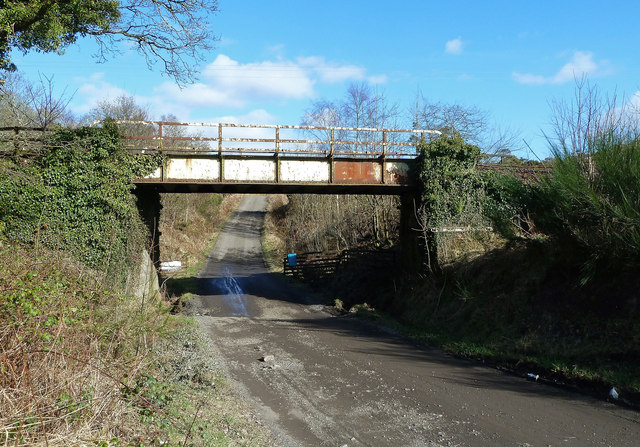
Image: © Mary and Angus Hogg Taken: 1 Mar 2013
The track passing below the railway bridge is part of the local network of trails, which seem to be well-used.
Images are licensed for reuse under creativecommons.org/licenses/by-sa/2.0
Image Location
Latitude
56.016044
Longitude
-4.746111