Rockfield Plantation
Introduction
The photograph on this page of Rockfield Plantation by Simon Carey as part of the Geograph project.
The Geograph project started in 2005 with the aim of publishing, organising and preserving representative images for every square kilometre of Great Britain, Ireland and the Isle of Man.

There are currently over 7.5m images from over 14,400 individuals and you can help contribute to the project by visiting https://www.geograph.org.uk
Rockfield Plantation
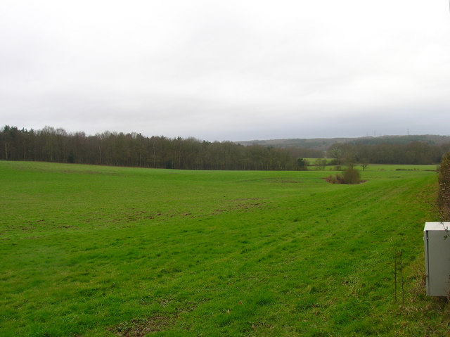
Image: © Simon Carey Taken: 10 Feb 2007
Little Shelley Wood is to the right whilst Beckley Woods are on the horizon.
Images are licensed for reuse under creativecommons.org/licenses/by-sa/2.0
Image Location
Latitude
50.969916
Longitude
0.670828