Upper Allan Street
Introduction
The photograph on this page of Upper Allan Street by Richard Dorrell as part of the Geograph project.
The Geograph project started in 2005 with the aim of publishing, organising and preserving representative images for every square kilometre of Great Britain, Ireland and the Isle of Man.

There are currently over 7.5m images from over 14,400 individuals and you can help contribute to the project by visiting https://www.geograph.org.uk
Upper Allan Street
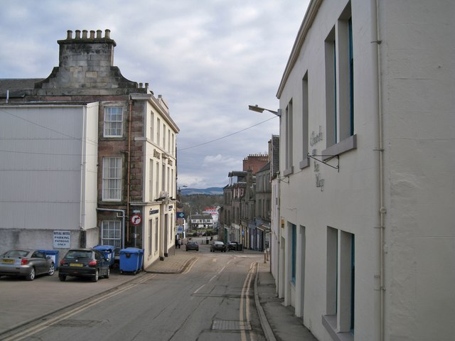
Image: © Richard Dorrell Taken: 24 Feb 2013
Looking towards the junction between Allan Street and High Street. The building on the left is the Royal Hotel, which faces the High Street, while on the right is the premises of The Church on the Way.
Images are licensed for reuse under creativecommons.org/licenses/by-sa/2.0
Image Location
Latitude
56.593105
Longitude
-3.339361