Fortrie
Introduction
The photograph on this page of Fortrie by Anne Burgess as part of the Geograph project.
The Geograph project started in 2005 with the aim of publishing, organising and preserving representative images for every square kilometre of Great Britain, Ireland and the Isle of Man.

There are currently over 7.5m images from over 14,400 individuals and you can help contribute to the project by visiting https://www.geograph.org.uk
Fortrie
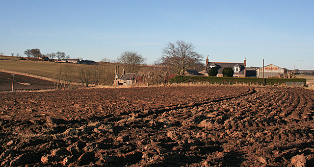
Image: © Anne Burgess Taken: 26 Feb 2013
The letetring on the barn gable reads 'Fortrie King Edward'. At far left is Newton of Foulzie, in the next square.
Images are licensed for reuse under creativecommons.org/licenses/by-sa/2.0
Image Location
Latitude
57.619933
Longitude
-2.441096