Stubble field with trig point and tree
Introduction
The photograph on this page of Stubble field with trig point and tree by Trevor Littlewood as part of the Geograph project.
The Geograph project started in 2005 with the aim of publishing, organising and preserving representative images for every square kilometre of Great Britain, Ireland and the Isle of Man.

There are currently over 7.5m images from over 14,400 individuals and you can help contribute to the project by visiting https://www.geograph.org.uk
Stubble field with trig point and tree
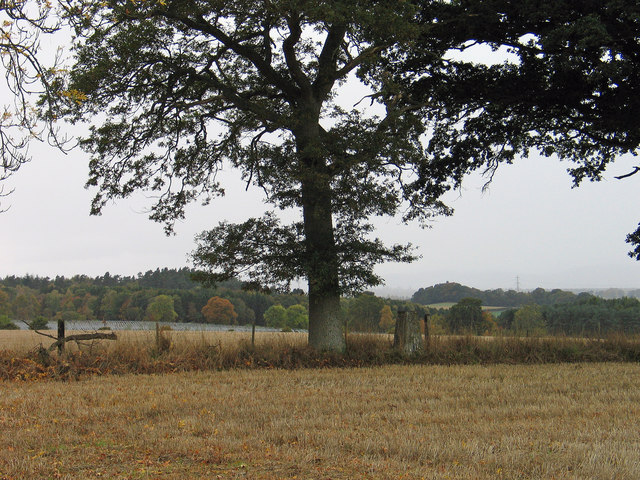
Image: © Trevor Littlewood Taken: 22 Oct 2005
The field lies to the west of Coupar Angus; the trig point is known to the OS as Kemphill and has flush bracket number S7131.
Images are licensed for reuse under creativecommons.org/licenses/by-sa/2.0
Image Location
Latitude
56.541928
Longitude
-3.28486