Corskie Drive
Introduction
The photograph on this page of Corskie Drive by Anne Burgess as part of the Geograph project.
The Geograph project started in 2005 with the aim of publishing, organising and preserving representative images for every square kilometre of Great Britain, Ireland and the Isle of Man.

There are currently over 7.5m images from over 14,400 individuals and you can help contribute to the project by visiting https://www.geograph.org.uk
Corskie Drive
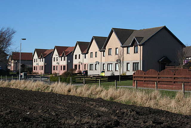
Image: © Anne Burgess Taken: 26 Feb 2013
Corskie Drive is on the other side of the houses, which, for the time being, enjoy a fine open view across fields to the south. I would be astonished, however, if further building does not take place in the fields between here and the cemetery.
Images are licensed for reuse under creativecommons.org/licenses/by-sa/2.0
Image Location
Latitude
57.662416
Longitude
-2.491054