Heol y Pentir, Rhoose
Introduction
The photograph on this page of Heol y Pentir, Rhoose by Jaggery as part of the Geograph project.
The Geograph project started in 2005 with the aim of publishing, organising and preserving representative images for every square kilometre of Great Britain, Ireland and the Isle of Man.

There are currently over 7.5m images from over 14,400 individuals and you can help contribute to the project by visiting https://www.geograph.org.uk
Heol y Pentir, Rhoose
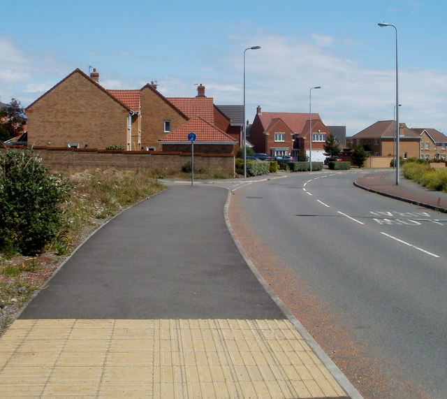
Image: © Jaggery Taken: 11 Jun 2011
Looking east from near Rhoose railway station car park http://www.geograph.org.uk/photo/3352126 towards a recently-built area of houses on the south side of the Vale of Glamorgan railway line.
Images are licensed for reuse under creativecommons.org/licenses/by-sa/2.0
Image Location
Latitude
51.386019
Longitude
-3.346479