Herstmonceux Free Church
Introduction
The photograph on this page of Herstmonceux Free Church by nick macneill as part of the Geograph project.
The Geograph project started in 2005 with the aim of publishing, organising and preserving representative images for every square kilometre of Great Britain, Ireland and the Isle of Man.

There are currently over 7.5m images from over 14,400 individuals and you can help contribute to the project by visiting https://www.geograph.org.uk
Herstmonceux Free Church
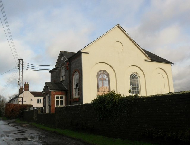
Image: © nick macneill Taken: 1 Feb 2013
Herstmonceux is pronounced Herst-mon-sue locally. For more details about the chapel see en.wikipedia.org/wiki/Herstmonceux_Free_Church
Images are licensed for reuse under creativecommons.org/licenses/by-sa/2.0
Image Location
Latitude
50.885523
Longitude
0.327737