Public footpath to Stanklyn Lane, Spennells, Kidderminster
Introduction
The photograph on this page of Public footpath to Stanklyn Lane, Spennells, Kidderminster by P L Chadwick as part of the Geograph project.
The Geograph project started in 2005 with the aim of publishing, organising and preserving representative images for every square kilometre of Great Britain, Ireland and the Isle of Man.

There are currently over 7.5m images from over 14,400 individuals and you can help contribute to the project by visiting https://www.geograph.org.uk
Public footpath to Stanklyn Lane, Spennells, Kidderminster
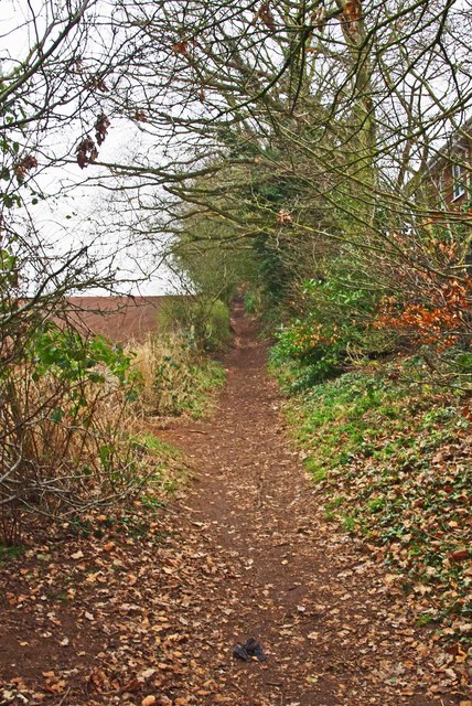
Image: © P L Chadwick Taken: 25 Feb 2013
The footpath skirts the edge of Kidderminster on the right, with fields on the left. It continues with fields on both sides before reaching Stanklyn Lane.
Images are licensed for reuse under creativecommons.org/licenses/by-sa/2.0
Image Location
Latitude
52.370762
Longitude
-2.224825