Annesley NG15, Notts.
Introduction
The photograph on this page of Annesley NG15, Notts. by David Hallam-Jones as part of the Geograph project.
The Geograph project started in 2005 with the aim of publishing, organising and preserving representative images for every square kilometre of Great Britain, Ireland and the Isle of Man.

There are currently over 7.5m images from over 14,400 individuals and you can help contribute to the project by visiting https://www.geograph.org.uk
Annesley NG15, Notts.
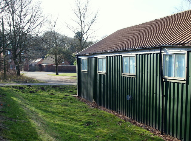
Image: © David Hallam-Jones Taken: 28 Feb 2013
Annesley Cutting can be seen on the other side of the grassed area. A modern 'replacement' Vicarage is also situated on the other side of the road. This is a view from the side of the All Saints Church's Parish Hall.
Images are licensed for reuse under creativecommons.org/licenses/by-sa/2.0
Image Location
Latitude
53.07703
Longitude
-1.241514