Auchincarroch Road
Introduction
The photograph on this page of Auchincarroch Road by Lairich Rig as part of the Geograph project.
The Geograph project started in 2005 with the aim of publishing, organising and preserving representative images for every square kilometre of Great Britain, Ireland and the Isle of Man.

There are currently over 7.5m images from over 14,400 individuals and you can help contribute to the project by visiting https://www.geograph.org.uk
Auchincarroch Road
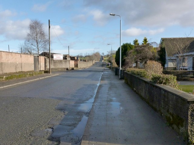
Image: © Lairich Rig Taken: 15 Feb 2013
This picture was taken not far from the junction with Main Street, shown in Image; as explained there, this road forms one leg of a route known locally as the Horseshoe. In the present photograph, one of the entrances to some timber merchants' premises can be seen on the left: Image For the main discussion of the name Auchincarroch, see Image, taken a little further along the road.
Images are licensed for reuse under creativecommons.org/licenses/by-sa/2.0
Image Location
Latitude
55.993078
Longitude
-4.569036