Greenheys
Introduction
The photograph on this page of Greenheys by Rude Health as part of the Geograph project.
The Geograph project started in 2005 with the aim of publishing, organising and preserving representative images for every square kilometre of Great Britain, Ireland and the Isle of Man.

There are currently over 7.5m images from over 14,400 individuals and you can help contribute to the project by visiting https://www.geograph.org.uk
Greenheys
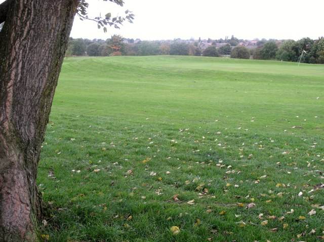
Image: © Rude Health Taken: 3 Oct 2009
A ten minute bag from Greenheys Road into small park, cross fence and ahead is top on a bank beside green with unnumbered flag; grey windy morning. Replaced by hill 7831 as Salford UA top in Feb 2012. Name: Greenheys Hill number: 5535 Height: 115m / 377ft Area: 36: Lancashire, Cheshire & the Southern Pennines Class: Un Grid ref: SD 71442 04902 Summit feature: mound by green on golf course Drop: 1m Col: 114m SD714048
Images are licensed for reuse under creativecommons.org/licenses/by-sa/2.0
Image Location
Latitude
53.539693
Longitude
-2.432269