End of footpath near Cutwellwalls
Introduction
The photograph on this page of End of footpath near Cutwellwalls by Derek Harper as part of the Geograph project.
The Geograph project started in 2005 with the aim of publishing, organising and preserving representative images for every square kilometre of Great Britain, Ireland and the Isle of Man.

There are currently over 7.5m images from over 14,400 individuals and you can help contribute to the project by visiting https://www.geograph.org.uk
End of footpath near Cutwellwalls
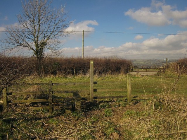
Image: © Derek Harper Taken: 18 Feb 2013
Ugborough Footpath 5 crosses a stile (missing from the DCC interactive map) and passes through a gate (secured by gravity, leaning as it is) to reach the ridge lane from Sign of the Owl Cross to Avonwick.
Images are licensed for reuse under creativecommons.org/licenses/by-sa/2.0
Image Location
Latitude
50.407957
Longitude
-3.83294