Fire station, Blairgowrie
Introduction
The photograph on this page of Fire station, Blairgowrie by Richard Dorrell as part of the Geograph project.
The Geograph project started in 2005 with the aim of publishing, organising and preserving representative images for every square kilometre of Great Britain, Ireland and the Isle of Man.

There are currently over 7.5m images from over 14,400 individuals and you can help contribute to the project by visiting https://www.geograph.org.uk
Fire station, Blairgowrie
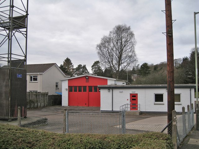
Image: © Richard Dorrell Taken: 24 Feb 2013
Viewed from Lochy Street, this is the rear of the fire station, which faces West George Street. The building dates from 1956. The tower structure on the left is used for training purposes. Front of building: Image
Images are licensed for reuse under creativecommons.org/licenses/by-sa/2.0
Image Location
Latitude
56.589102
Longitude
-3.343942